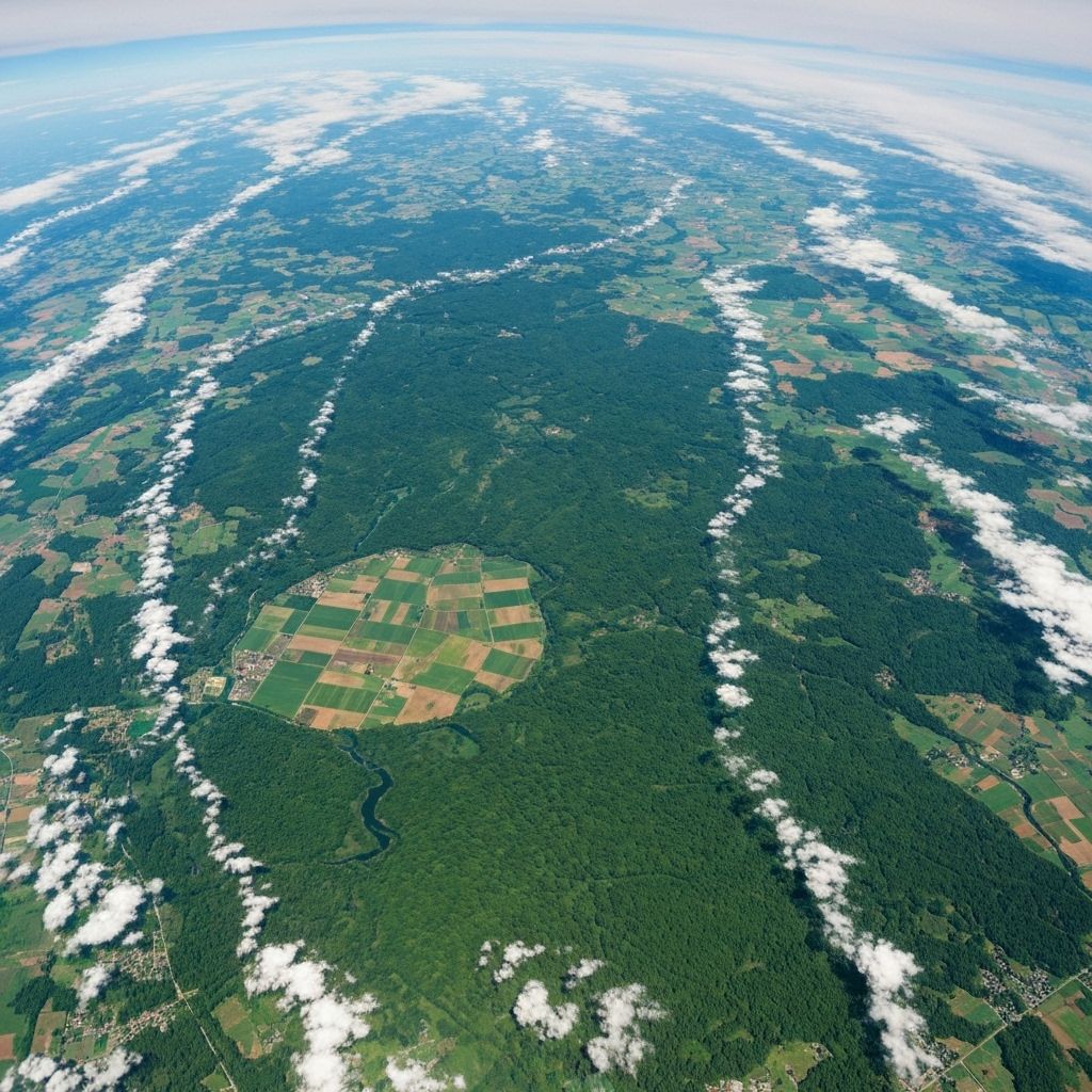
AI + Satellite Powered Platform
From Documents to Decisions
Experience the complete pipeline from paper documents to actionable intelligence
Revolutionizing Forest Rights Act implementation through AI-powered document processing, satellite imagery analysis, and intelligent decision support systems for tribal communities across India.
Platform Features
From Documents to Decisions
Experience the complete pipeline from paper documents to actionable intelligence
OCR & Digitization
From paper to searchable archive
Satellite Mapping
Assets detected from space in real time
Progress Dashboard
Track FRA implementation across states
DSS Recommendations
Schemes layered for every tribal household
Intelligent Data Flow Pipeline
Upload Docs
OCR + NLP Extraction
MongoDB Storage
UNet Asset Mapping + PostGIS
DSS Engine + WebGIS Output
Impact Snapshot
Real-time progress across the platform
0+
Claims Digitized
0+
Villages Mapped
0+
Schemes Layered
Comprehensive Digital Transformation
Streamlining Forest Rights Act implementation through cutting-edge technology
Document Upload
Upload scanned FRA claims with real-time processing status
Uploaded → OCR Processing
Verified → Stored
Voice + Chat Assistant
Multilingual support for 22 Indian languages
• Deepgram speech processing
• Google Translate integration
• Real-time assistance
WebGIS Atlas
Interactive mapping with satellite-detected assets
• FRA Claims visualization
• Satellite asset detection
• Scheme overlays
Progress Dashboard
Track claims submitted, pending, and granted
• Real-time status updates
• Mobile accessibility
• Citizen-friendly interface
Decision Support System
AI-powered recommendations for scheme eligibility
• Rule-based eligibility checks
• ML-powered prioritization
• Personalized recommendations
Modern Tech Stack
Cloud-first architecture with cutting-edge tools
ReactFastAPIMongoDBPostGISTensorFlow
Intelligent Data Flow
From document scanning to actionable insights
Document Processing
Scanned FRA docs → OCR/NLP → MongoDB
Asset Mapping
Satellite imagery → UNet → Asset Mapper → PostGIS
Decision Support
DB/API → WebGIS & DSS → End Users